In short
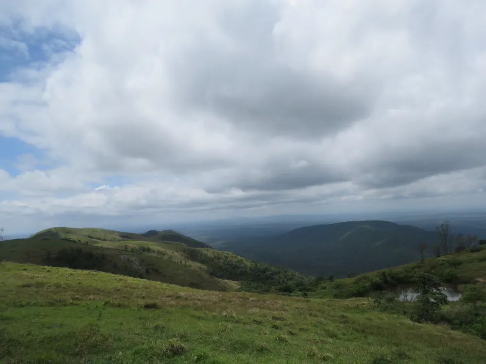
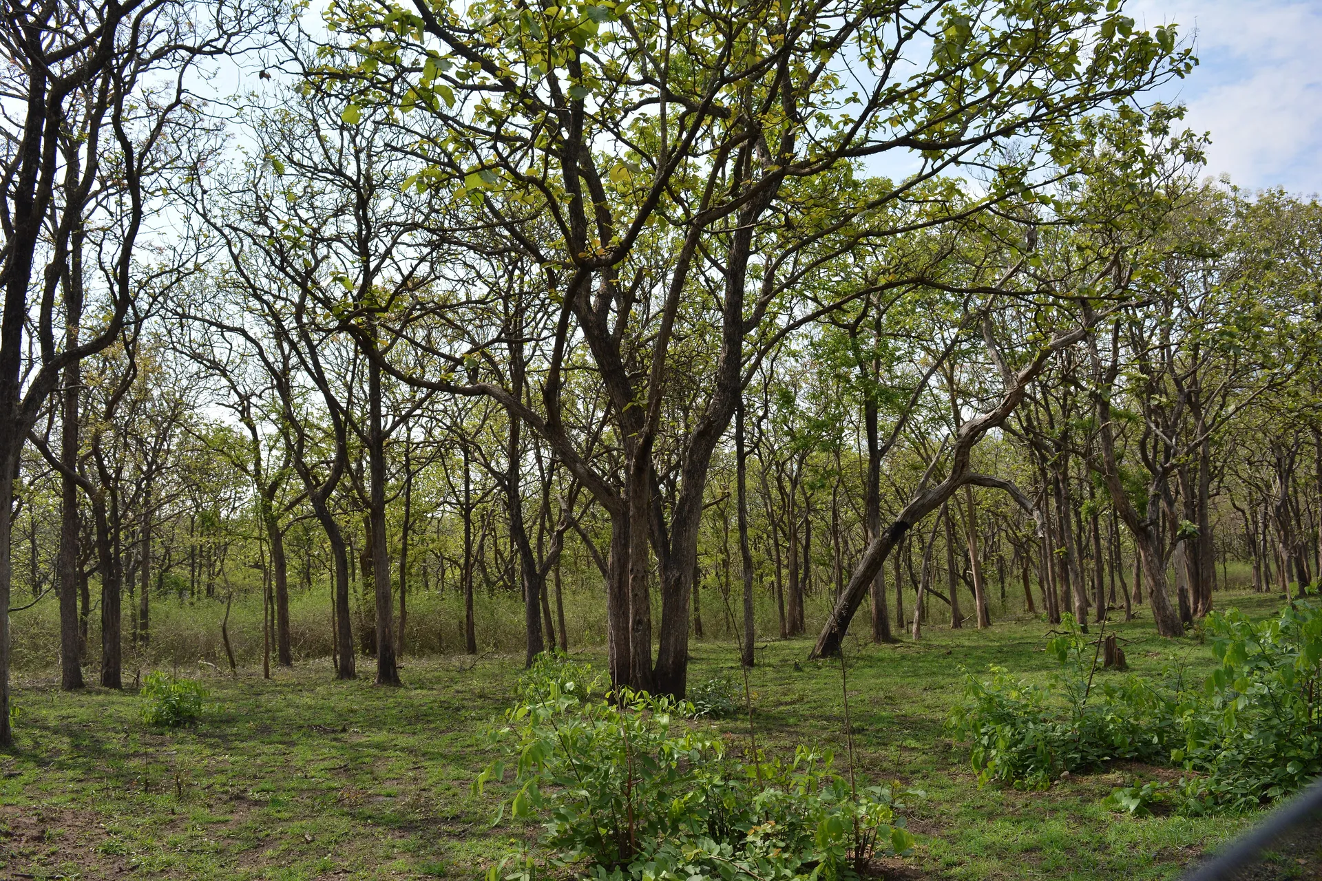
- Bandipur lies in the rain shadow of the Western Ghats. Most of it is southern tropical dry deciduous forest, with moist deciduous forest in the wetter west and on higher ground, dry scrub in the east and south, and small patches of shola near the top of Gopalaswamy Betta.
- Teak, rosewood, sandalwood, Indian laurel, axlewood, the Indian kino tree and bamboo are the characteristic plants.
- The forest is shaped by its rivers: the Kabini to the north, the Nugu through the middle and the Moyar to the south, where it drops into the 20 km Moyar gorge.
- Lantana, an invasive shrub from tropical America, now covers large parts of the reserve, crowding out grass and making fires hotter.
- Fire is the biggest dry-season threat; the February 2019 fire burned at least 3,400 hectares, and by some estimates more than 6,000.
A forest in the rain shadow
The monsoon winds that drench the western slopes of the Western Ghats lose most of their moisture before they reach Bandipur. The result is a forest that is green and dense for half the year and dry, open and often leafless for the other half. Rainfall falls away from west to east across the Nilgiri landscape, and the vegetation follows: Wayanad, to the south-west, is much wetter, and the forests east of Bandipur, towards the Moyar and Sathyamangalam, are drier still.
UNESCO's description of the Nilgiri Biosphere Reserve sums up the Karnataka core in one line: mostly dry deciduous forest, with a few patches of moist deciduous, semi-evergreen and scrub jungle. The reserve itself lists four forest types.
| Forest type | Where | What you notice |
|---|---|---|
| Southern tropical dry deciduous | Most of the reserve, including the safari zone | Open woodland of teak, axlewood, Indian laurel and kino over grass and shrubs; leafless for weeks in the dry season |
| Southern tropical moist deciduous | The wetter west and higher ground | Taller trees, more bamboo, denser cover; greener for longer |
| Dry deciduous scrub | The drier east and south, towards the Moyar | Thorny shrubs, small trees and rock |
| Shola | Small patches near the summit of Gopalaswamy Betta | Stunted evergreen forest in sheltered folds among hilltop grassland |
Trees and plants to know
You do not need to be a botanist to enjoy Bandipur, but a few trees tell you a lot about the forest.
- Teak (Tectona grandis): huge, rough leaves and straight trunks; teak was the reason much of this forest was managed for timber in the past.
- Indian rosewood (Dalbergia latifolia) and sandalwood (Santalum album): two of the most valuable timbers in India. Sandalwood is now listed as vulnerable, and the smuggling of both shaped the region's history.
- Indian laurel (Terminalia tomentosa) with its crocodile-skin bark, and axlewood (Anogeissus latifolia), whose leaves turn red before they fall.
- Indian kino tree (Pterocarpus marsupium), known in Kannada as honne, valued for its timber and medicinal gum.
- Bamboo (Dendrocalamus strictus): dense clumps favoured by elephants and by resting tigers.
- Indian gooseberry (amla), the myrobalans (Terminalia chebula and T. bellirica) and neem, all long used in traditional medicine and listed by the reserve among its medicinal plants.
Collecting or removing any plant from the reserve is prohibited.
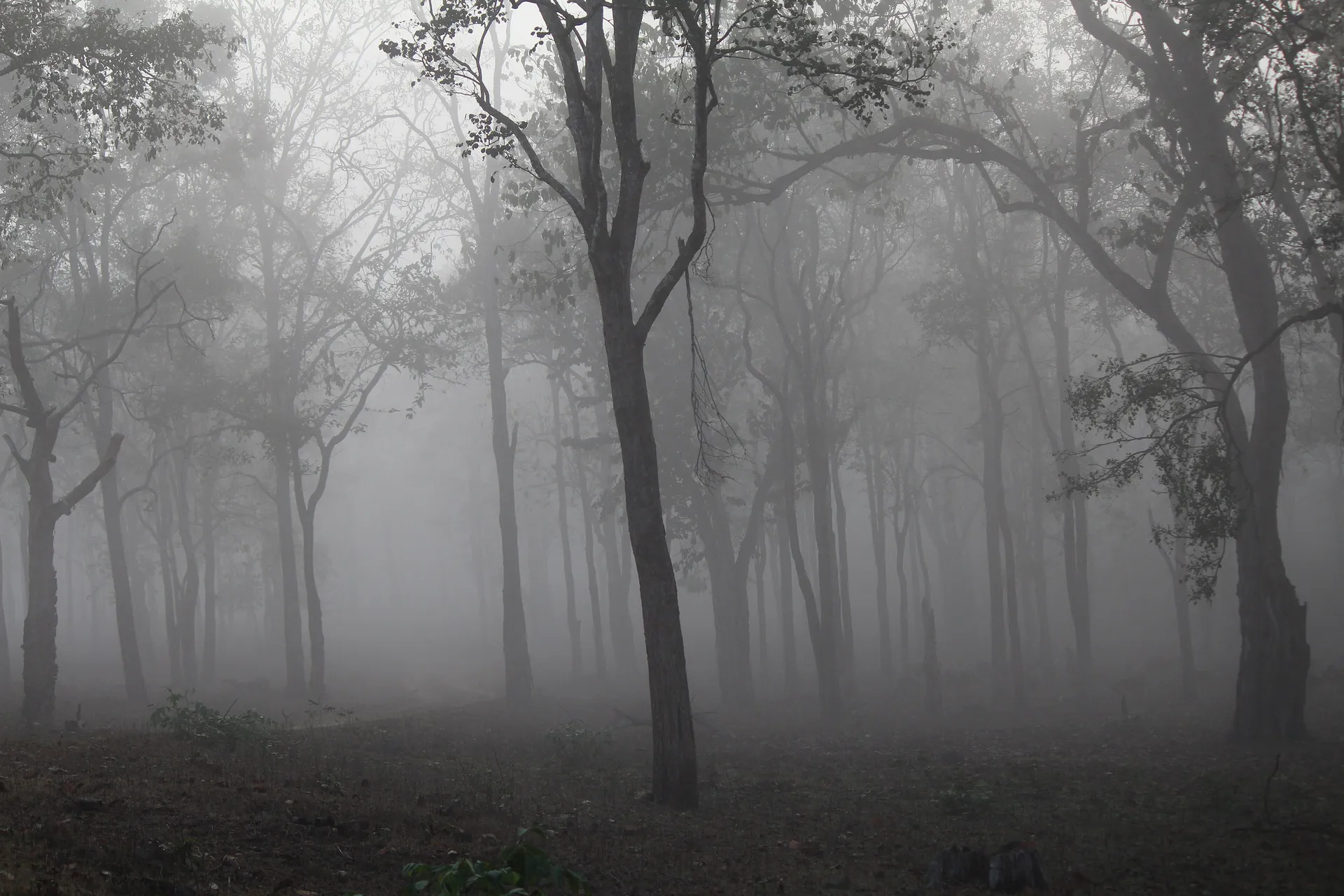
Deciduous trees in December fog. Winter mornings in Bandipur are often misty and cold.
The year in the forest
The reserve describes the cycle simply: in summer and the dry season many deciduous trees shed their leaves and the grass dries out; the monsoon brings back soil moisture and new growth; after the rains, conditions vary with how much rain fell and where.
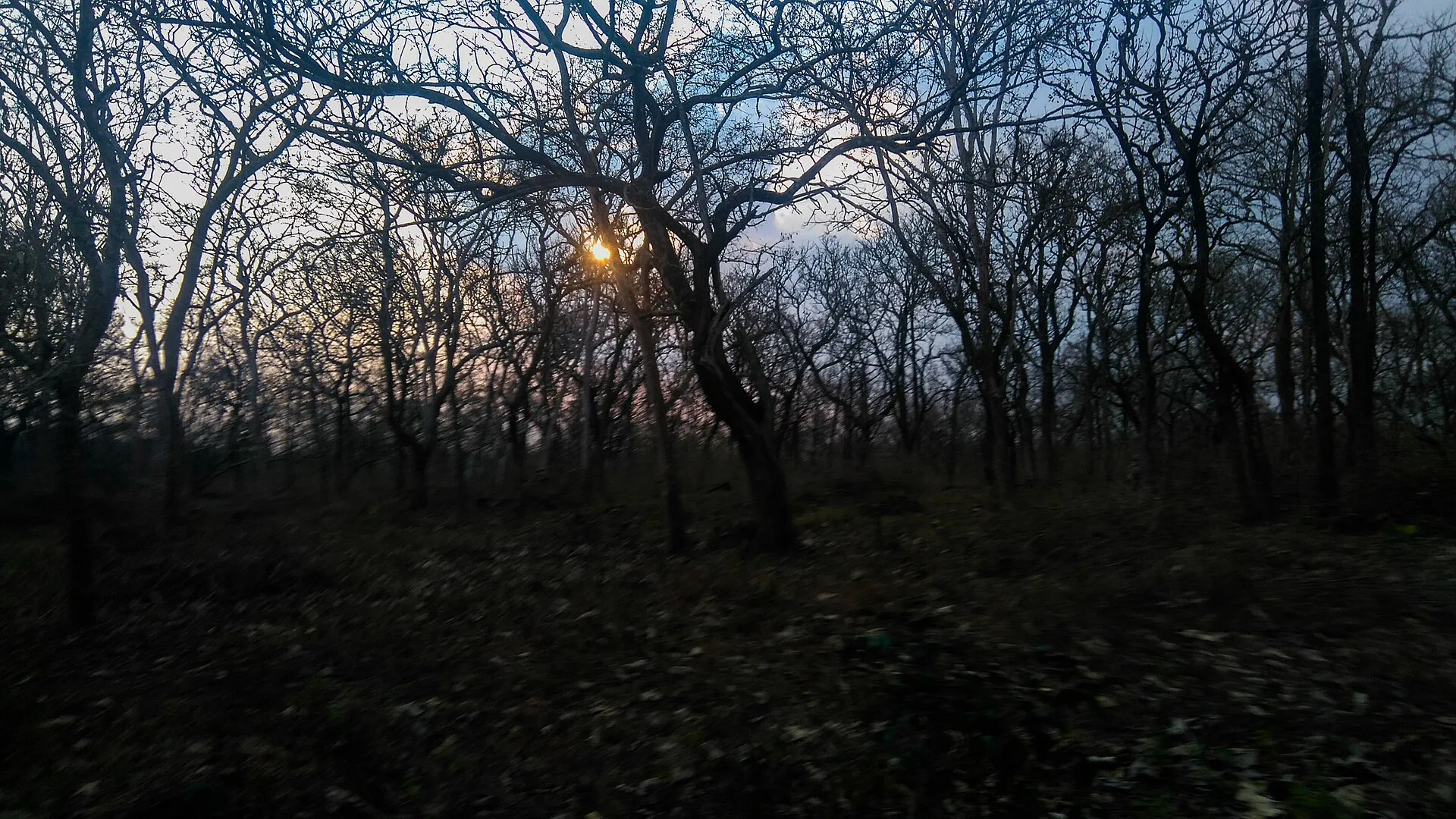
For a visitor, that means the same safari track looks completely different in May and in August. The hot dry months, roughly March to May, open up the forest: you can see far between the trees, animals gather at the remaining water, and fire is a constant worry. From June the southwest monsoon turns everything green within weeks, and the animals spread out. October and November are lush and quieter; December to February is cool, often misty, with the forest slowly turning gold again.
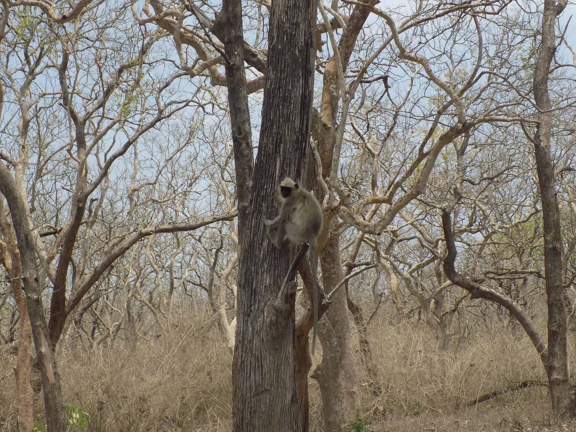
Bandipur in April. In the hot dry season many trees are bare and the ground is parched or burnt.
Rivers, reservoirs and waterholes
Three rivers frame the park. The Kabini flows along the northern edge; its reservoir, created by a dam downstream, separates Bandipur from Nagarhole and becomes a magnet for elephants and other animals in the dry season as the water recedes and grass grows on the exposed banks. The Nugu runs through the reserve to the Nugu reservoir. The Moyar forms the southern boundary with Mudumalai in Tamil Nadu.
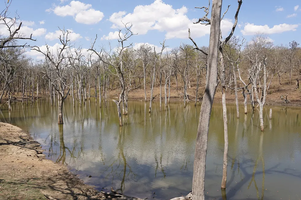
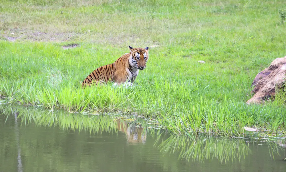
Inside the forest, the animals depend in the dry season on natural pools in stream beds and on man-made waterholes. Most safari routes pass several of them, and a waterhole in April is where many of the best sightings happen.
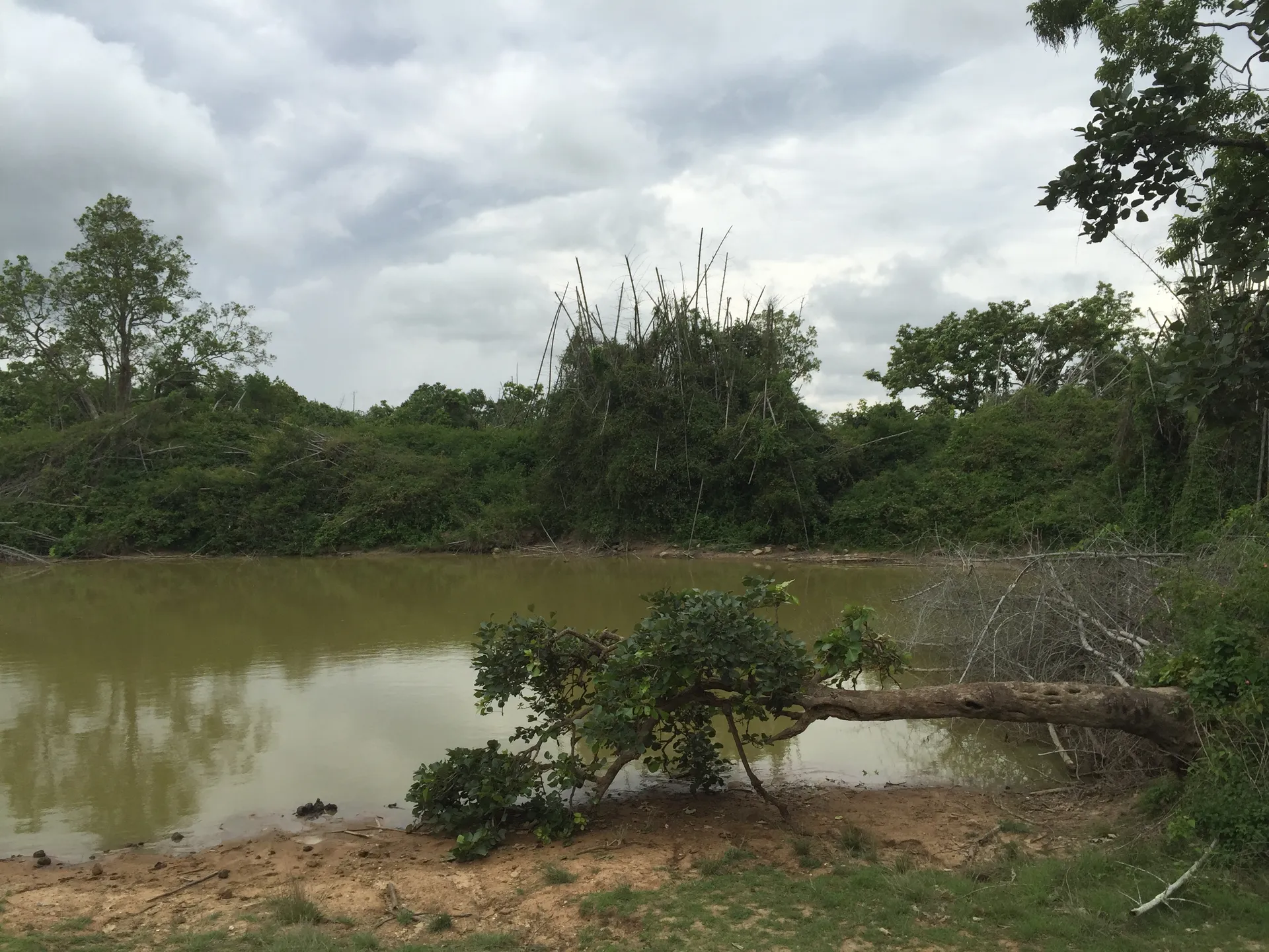
A waterhole surrounded by bamboo and thorny scrub deep inside the reserve.
The Moyar gorge
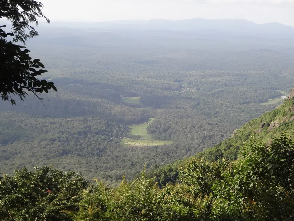
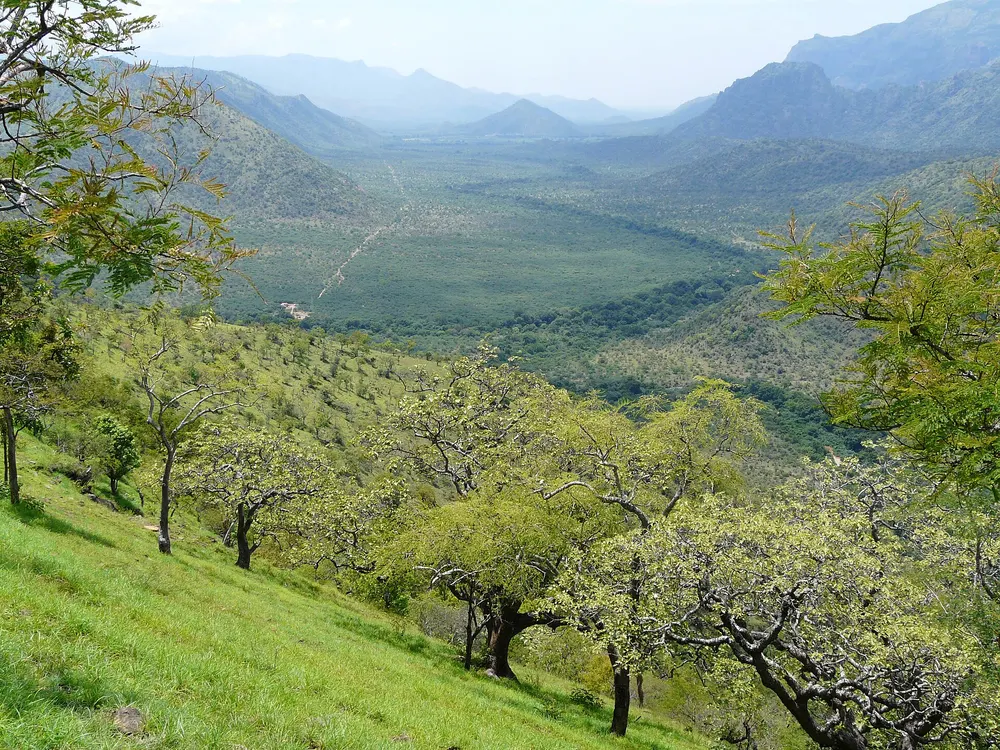
South of Bandipur the Moyar river runs east from Mudumalai and, below Theppakadu, plunges over the Moyar Falls into a deep, narrow gorge about 20 km long, sometimes called the Mysore Ditch. The gorge separates the plateau of Bandipur and Mudumalai from the Sigur plateau and the hills to the south, and further down the Moyar flows through dry forest towards Sathyamangalam and the Bhavanisagar reservoir.
For wildlife the Moyar valley is a corridor linking the Nilgiri forests to the Eastern Ghats, and its dry, rocky forests are important for vultures and other species of open country. Visitors see the gorge mainly from viewpoints and roads on the Tamil Nadu side; see Mudumalai and Masinagudi.
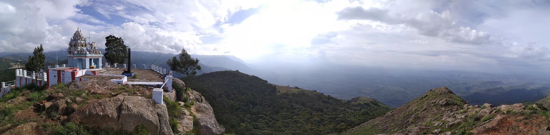
The Moyar gorge, on the Tamil Nadu side of the river, where the valley links the Nilgiri forests to Sathyamangalam.
Lantana: the weed that changed the forest
Lantana camara is a flowering shrub from tropical America, introduced to India as a garden plant in the colonial era. It has since spread through dry forests across the country. Where it takes hold it forms thickets several metres high that shade out the native grasses and herbs on which chital, gaur and elephants feed.
A 2020 study in Global Ecology and Conservation estimated that lantana occupies more than 40 per cent of the forest area in India's tiger range, about 154,000 km², and flagged Bandipur as heavily invaded. A Forest Department mapping study found lantana across most of the reserve, with only around a quarter of the core free of it. Removing it is slow, labour-intensive work: the shrub resprouts from roots, and clearing must be followed by restoring native grasses.
Lantana also changes how the forest burns. Officials and scientists blamed dense, dry lantana for the speed of the 2019 fire, when it replaced the grassy understorey that once carried cooler, faster fires.
Fire
Dry deciduous forests have always burned, but fire in Bandipur today is almost always started by people, deliberately or by accident, and the forest now carries far more fuel than it used to. The dangerous period is from about February to April, before the pre-monsoon showers.
The worst fire in recent years began on 21 February 2019; the main fire was under control by 24 February, though patches burned on. Estimates of the damage vary widely: about 3,400 hectares in early Forest Department statements, 4,420 hectares in the analysis by ISRO's National Remote Sensing Centre as of 25 February, and more than 6,000 hectares in a later satellite assessment and in independent estimates by scientists. Forest staff and local volunteers fought it on the ground, and on 25 February two Indian Air Force Mi-17 helicopters flew ten sorties, dropping about 30,000 litres of water. Two shepherds were arrested, accused of starting the fire to drive away a tiger that had been attacking their cattle; the head of the state's forest service called it sabotage. No deaths of large mammals were reported.
Every year the department clears fire lines along roads and boundaries before the dry season, employs fire watchers and patrols the forest. Visitors can help in the simplest way: never throw a cigarette or match from a vehicle on the highways, and report smoke to the reserve.
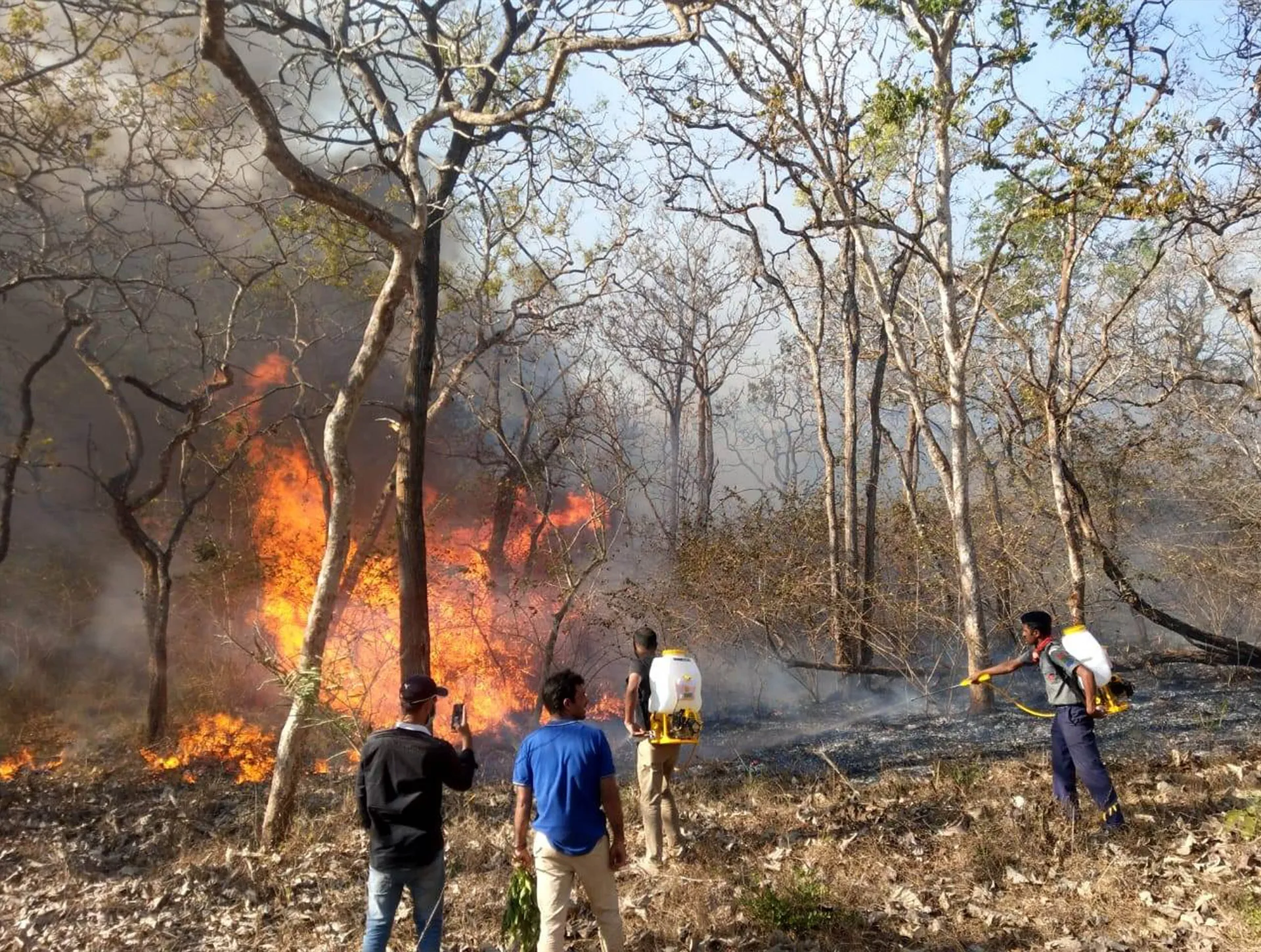
Forest Department crew and local people fighting the Bandipur fire on 24 February 2019.
See it for yourself
The ecology of the park is easiest to understand on a slow safari with a good naturalist, or by seeing the forest in two different seasons. Our safari guide explains how to book; if you are coming from Mysuru, the private wildlife day tour from Mysore to Bandipur is the simplest way to get here and back in a day.
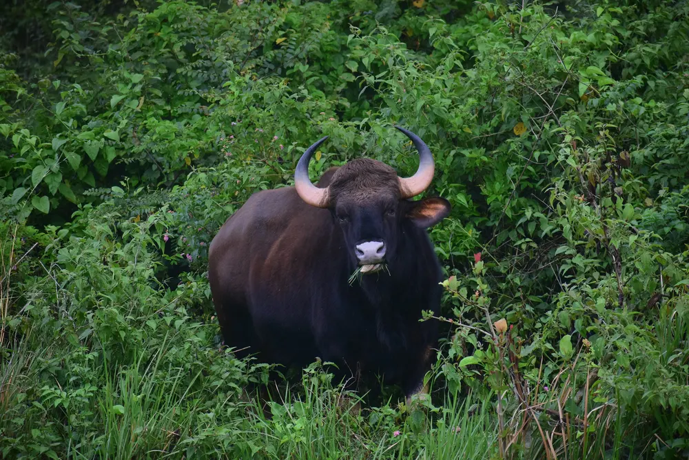
Wildlife private day tour: Mysore to Bandipur National Park
A private day from Mysuru to Bandipur and back, built around wildlife viewing, as the listing title describes. The simplest way to reach the safari counter without your own car. Check whether a Forest Department safari seat is included and the pick-up time.
Check availabilityBook via GetYourGuide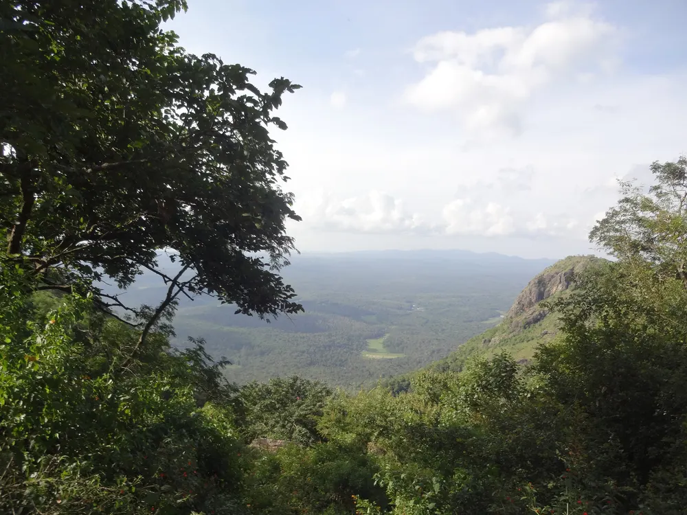
Ooty and Bandipur safari day tour from Coimbatore
One long day from Coimbatore: up to Ooty in the Nilgiris and a safari in the Bandipur forest, according to the title. Check the order of the day, the safari arrangements and the return time; the forest highway closes at 9 pm.
Check availabilityBook via GetYourGuideTour listings are on GetYourGuide. Prices, dates and cancellation terms are shown live on each listing and can change; BandipurNationalPark.com may earn a commission at no extra cost to you.
Frequently asked questions
What type of forest is Bandipur?
Mostly southern tropical dry deciduous forest, with moist deciduous forest in the wetter west, dry scrub in the east and south, and small patches of shola near the top of Gopalaswamy Betta.
Why are the trees bare in Bandipur in summer?
Most of Bandipur's trees are deciduous: they shed their leaves in the hot dry season, roughly March to May, to save water, and grow new ones when the monsoon arrives in June.
What is lantana and why is it a problem?
Lantana camara is an invasive shrub from tropical America. It forms dense thickets that replace the grasses herbivores eat and makes forest fires more intense.
How big was the 2019 Bandipur fire?
Estimates range from about 3,400 hectares (early official figures) and 4,420 hectares (ISRO's National Remote Sensing Centre) to more than 6,000 hectares in later assessments, for the fire of 21 to 25 February 2019.
Sources and official information
Facts were checked against these official and scholarly sources in November 2026. Opening hours, ticket prices, park fees and timetables change, so confirm before you go.
- bandipurtr.in
- bandipurtr.in
- unesco.org
- en.wikipedia.org
- en.wikipedia.org
- thenewsminute.com
- scroll.in
- india.mongabay.com
- deccanherald.com
- en.wikipedia.org
BandipurNationalPark.com is an independent guide. It is not the official website of Bandipur National Park or Tiger Reserve and is not affiliated with the Karnataka Forest Department, any government body, tour operator or resort; official safari bookings are made on the government's own portal. Some links are affiliate links: tours go to GetYourGuide and accommodation goes to Booking.com, and we may earn a commission at no extra cost to you.